
Walk a Granite City Street
Begin with one complete address, even when the goal is a whole block. The street directory trail works best when each source is saved with its date and keeper. USPS confirms the postal form. Madison County supplies the tax parcel and map, while the Recorder supplies the legal transfer chain. Granite City adds work permits and address-based service files. Historical directories and newspapers can place a named household at an earlier date, but they are not present-day proof.
- Validate the street, number, unit, city, and ZIP through the official USPS lookup.
- Search the Madison County parcel portal by site address; save the PIN, tax year, owner, and mailing address.
- Open the county GIS layer, identify parcels along the street, and retain each boundary and PIN.
- Carry the owner name and PIN into Recorder indexes, then work backward through grantor and grantee links.
- Check city permits, the Press-Record, and a verified criss-cross or alphabetical directory for dated occupant clues.
This order reduces false matches. A renter may appear in a dated directory but not the deed. An owner may receive a tax bill elsewhere and never have occupied the Granite City site.
Granite City Address Search Fields
The county assessment system says to use one main criterion at a time. For a by-street search, the house-number range, street name, and city are the direct route. A PIN can contain 15 to 18 digits and may appear with or without punctuation. Results can repeat across tax years, so preserve the year instead of merging rows.
| Portal field | Street use | Limit |
|---|---|---|
| House Number Low/High | Browse a numbered span | Use the site street, not mailing address |
| Street Name and City | Find Granite City situs parcels | Postal city may differ from city limits |
| Owner Name | Confirm a tax-record link | Does not prove occupancy |
| Parcel Number | Join map, tax card, and deed trail | May change after splits |
| Search All Tax Years | Expose older parcel rows | Not a full deed history |
| Sale Date and Document | Find a Recorder lead | Portal history begins in August 2007 |
The parcel card separates site from owner mailing address and can list more than one site address for apartments, suites, or strip malls. Sales and Genealogy tabs cover recent sales and parcel splits or combines since August 2007. Older continuity belongs in Recorder books, plats, maps, and archive records.
Map Granite City Street Parcels
The Madison County tax-parcel layer exposes PIN, owner, address, city, state, ZIP, zoning, acreage, comments, and parcel geometry. Geometry is the mapped boundary. It helps separate a corner parcel, vacant tract, rail edge, or industrial lot from homes that merely share a road name.
The successful county-layer capture below shows the official fields behind a street directory map search.
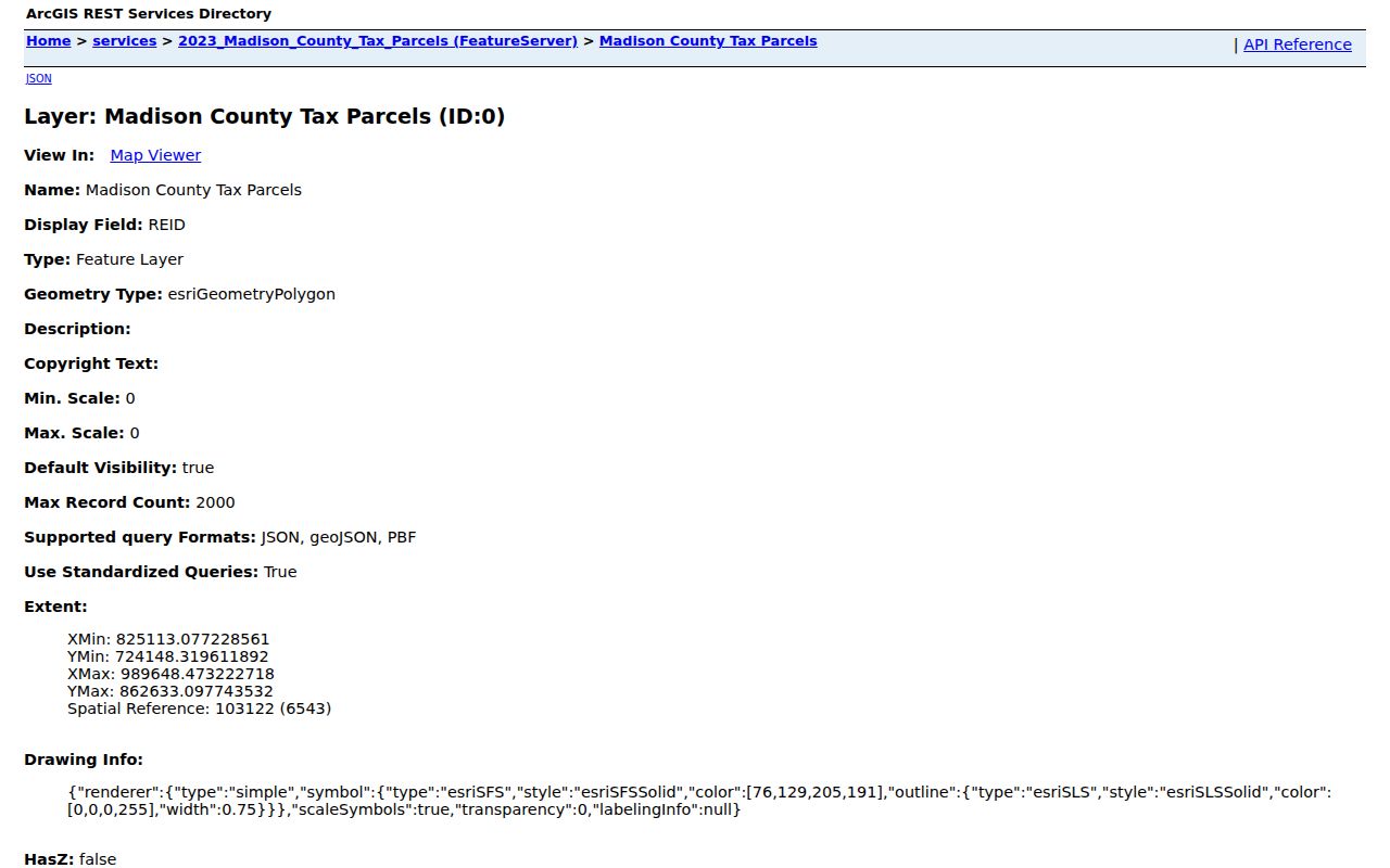
The image is a map and tax source, not a resident roster. Search each PIN in Devnet, note the layer date, and keep the mapped address separate from the owner mailing city.
- Parcel
- A mapped unit of land tied to a tax identification number.
- Situs address
- The physical location assigned to land, distinct from the tax-bill destination.
- Plat
- A recorded drawing of lots, streets, easements, and legal bounds.
- Criss-cross directory
- A directory arranged by street or phone instead of only surname.
Granite City Records by Street
No address index answers every question. Compare these Granite City street directory layers by date and purpose. Access includes online portals, county counters and vaults, city documents, copy requests, and library shelves.
| Address layer | Keeper | Contribution | Access |
|---|---|---|---|
| Parcel assessment | Madison County | Owner, mailing/site address, PIN, year | Free Devnet portal |
| GIS parcel | County GIS | Boundary, nearby PINs, zoning, acreage | Viewer or feature layer |
| Recorded deeds | County Recorder | Parties, document, date, book/page | Direct Search, Laredo, Tapestry, counter, vault |
| Permit file | Granite City | Owner, contractors, scope, cost, dates | BS&A, city documents, staff, FOIA |
| Directory/newspaper | Libraries | Dated household, phone, business clue | Digital, microfilm, shelf, staff |
| Voter route | County Clerk | Election-authority function | Official search with legal limits |
County voter data is not a public street roll. The notices restrict use, and named voters should not be republished by street. Precinct maps and election-history totals are tools for civic geography.
Granite City Streets Meet Deeds
The Recorder land-record page links free data-only Direct Search, Laredo, and Tapestry. Start with the tax-card owner, then search that person as grantee, the party receiving an interest. The prior transfer often names the grantor, the party giving it. Repeat backward while saving document number, date, deed type, book/page, legal description, and PIN.
The Recorder document guide pictured below helps distinguish deeds, plats, liens, and address instruments.
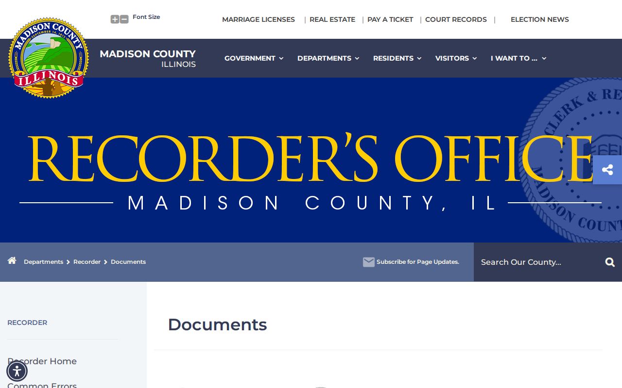
Land records begin in 1812. Tapestry describes material after 1984, but older records may require the vault, a mail or email copy request, or IRAD. The office needs a recording reference and does not perform title searches.
Note: A deed names legal parties and land; it does not identify each person who lived at the Granite City address.
Granite City Address Changes
A citywide renumbering list was not found. City council records, ward and street maps, annexation files, plats, and county 9-1-1 material are the fallback chain. County policy says the 9-1-1 system began operating June 18, 1992, and subdivision plats require common-address certification. That certificate can bridge an old legal description to a modern emergency address.
Keep boundaries apart. A Granite City postal name, township, tax district, ward, and legal city boundary may describe different areas. A 2007 council agenda includes annexation and address matters, but it is only a lead. Request the ordinance, map, or plat that proves the change.
Address tip. For a pre-1992 property, pair its deed description and plat with city maps and the county common-address certificate.
Granite City Permits by Address
Municipal files add people and work a tax card omits. Granite City's permit application records project address, owner, contractors or design professionals, scope, cost, signatures, and dates. Since a full public result index was not confirmed, use the form, document library, Granite City BS&A Online, staff, and Illinois FOIA.
The successful municipal capture below provides an official entry point.
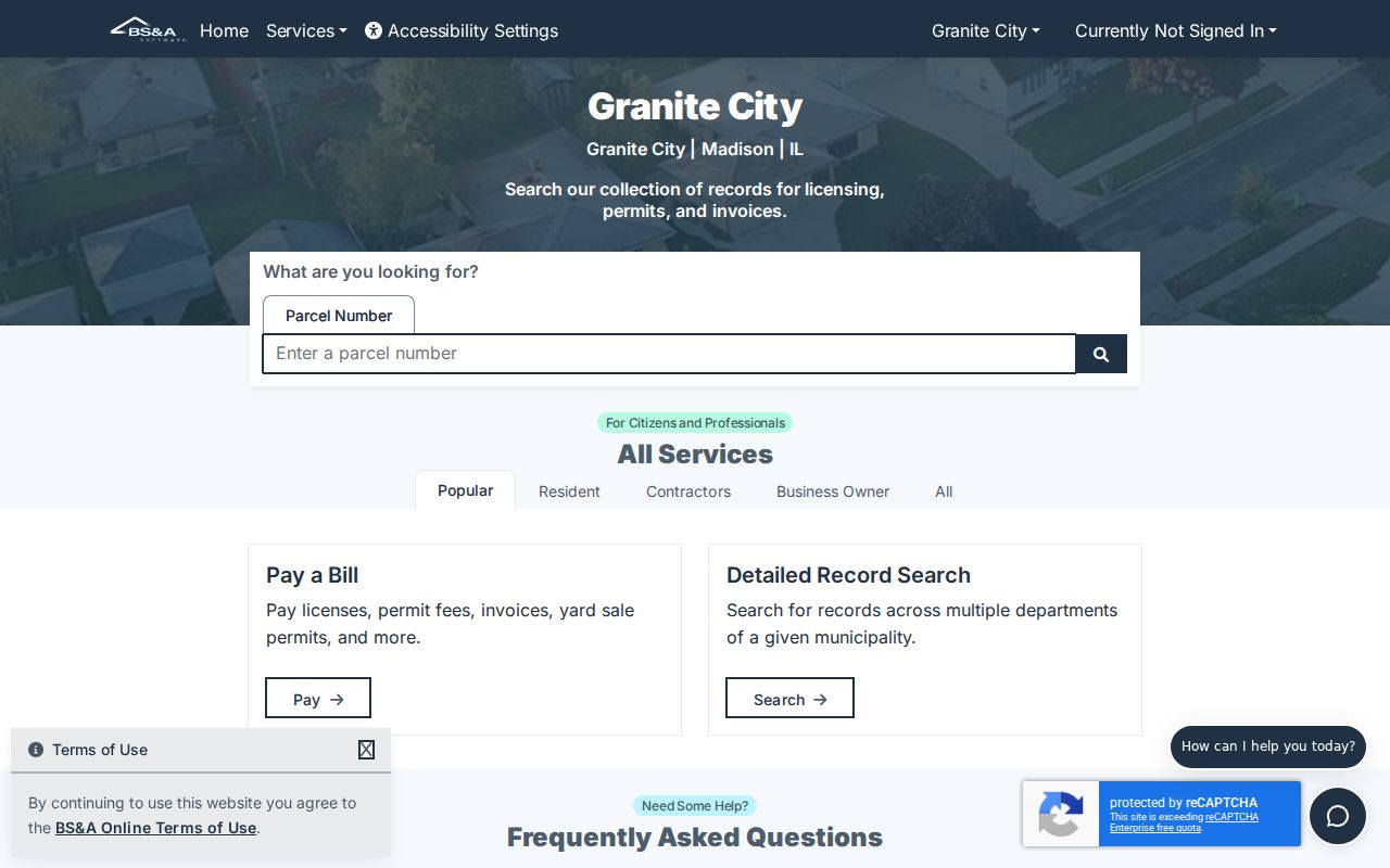
A permit party may be an owner, applicant, builder, or designer. Label the role. The Granite City Action Line is another address route.
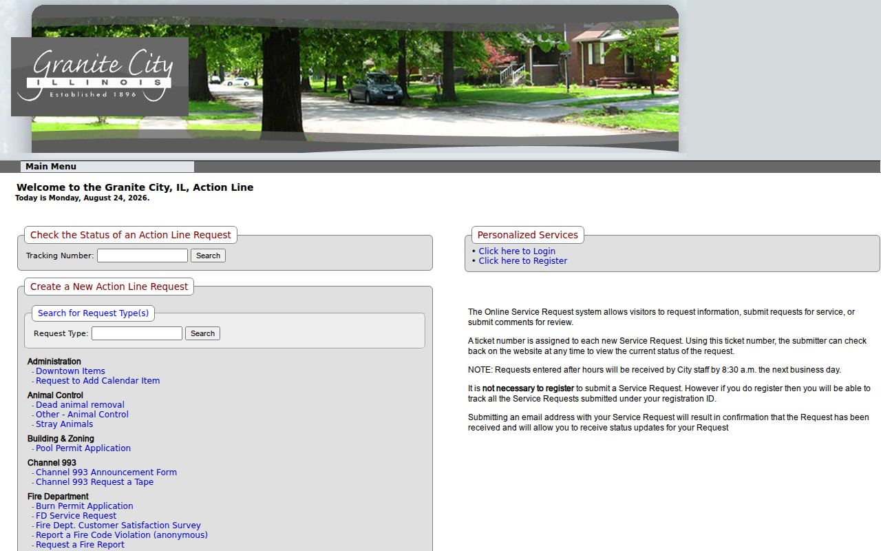
A ticket documents a city issue at a place, not who lives there. Save its date, category, status, and released response.
Older Granite City Street Directories
For a dated household clue, use Six Mile Regional Library, the Press-Record, and verified holdings. FamilySearch displays Polk's Tri-Cities volumes for 1931 and 1972. St. Louis County Library lists combined books for 1941, 1969, 1974, and 1978, a 1968 phone book, and 1998 through 2002 directories.
SMRLD confirms local historical directories but not an exact reverse run. Ask for “reverse,” “criss-cross,” “house directory,” and telephone books before claiming a year. The full shelves and reading method belong to the Granite City city directories collection. Here, use a volume only to connect one printed address with one year.
Note: Directory compilation can lag a move, so compare the entry with a dated deed, newspaper item, permit, or census schedule.
Before Granite City Street Numbers
Madison County land records reach 1812. IRAD deed indexes cover 1814 through 1910, and deed records cover 1814 through 1879. Those early records use legal land descriptions rather than modern street numbers. Match the lot, block, subdivision, survey, or other bounds to a plat before assigning today's address.
The Press began in 1903, and directory snapshots grow firmer with the displayed 1931 volume and later shelves. For industrial districts, company names, boarding arrangements, churches, and rail or canal edges may explain an address better than a modern map. Context remains a lead, not personal proof.
Granite City Street Evidence Grid
A sound street directory result is reproducible. For each item, write down the source, search value, date searched, record date, named person's role, and the page, document, or PIN reference. Keep separate rows for the postal address, tax site, owner mailing address, deed description, permit address, and printed directory address. If two rows conflict, retain both. A mismatch may mark a move, parcel split, annexation, corrected street number, trust transfer, or publication lag.
Work from the newest dated official source toward the oldest when the aim is an ownership chain. Start from a known historical date when the aim is family history. An old newspaper address can lead to the city directory for that year, then to a plat and deed index. The modern parcel is the final cross-check, not the starting assumption. This matters in Granite City's industrial corridors and Lincoln Place, where old neighborhood terms, factory names, and current parcel geography may not align.
A screenshot preserves interface labels, but it is not a certified record. Save the live source link. When a portal fails, contact its keeper, request a copy by mail or email where offered, visit the county counter or library, or use Illinois FOIA for non-indexed city files subject to exemptions.
Granite City Street Directory Limits
A parcel owner, deed party, permit applicant, voter record, and directory occupant can all differ. Public sources do not form a complete household list. Protected or redacted addresses may be absent. Illinois's Address Confidentiality Program can provide a substitute address for eligible survivors, though it cannot guarantee every property record is hidden.
Commercial tools often blend old files without showing dates or keepers. Official records are narrower, but preserve source, role, and date. Use by-street records for family history, deed research, scam prevention, civic questions, and responsible neighborhood curiosity.
Lawful use. Use Granite City address records only for lawful personal research, and never to stalk, harass, intimidate, or harm anyone.